
High-Altitude Operations (above 4,000 m a.s.l.)
Adaptability to demanding geographical and climatic conditions.

Engineering in the field
Surveying · Mining · Civil Engineering · Agroindustry
Discover GEOLAND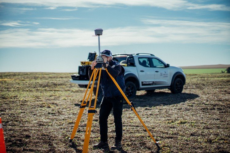
About us
At GEOLAND, we provide specialised technical solutions in surveying, mining, civil engineering and agroindustry. We combine technical expertise, precision technology and operational experience to support public and private projects.
Equipped to operate in complex environments and committed to continuous improvement, we work alongside businesses, public bodies and institutions to produce strategic information for effective planning and sound decisions.
Our services

We provide precise, professionally supported information for land planning, organisation, regularisation and management.
Cadastral surveys · VESEP · Plot developments and subdivisions · Topography and geodesy

We combine operational experience, precision technology and technical expertise to support mining projects and deliver reliable geospatial information.
Mining surveys · Control networks · Volumetrics · GIS mapping · Mining roads
We provide engineering solutions for road, hydraulic and industrial infrastructure projects, integrating surveys, technical analysis and planning.
Feasibility studies · Detailed designs · Construction monitoring · Hydrology and drainage
We integrate geospatial technology and precision surveys to support the planning and efficient management of productive land.
Precision agriculture · Digital mapping · RPA monitoring · GIS integration
At GEOLAND, we approach every project from an integrated perspective, bringing together the disciplines required by its characteristics and scope.
Our technical team is complemented by specialised legal advice in Real Property Law and Mining Law, as well as Health and Safety professionals. Together, they provide specialist support for surveying, mining, civil engineering, infrastructure and land-management projects.
Applied technology
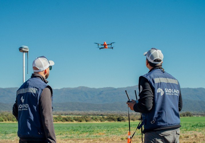
We develop geospatial solutions through RPA/UAS operations, integrating and operating different platforms, sensors and configurations according to each project’s characteristics and requirements.
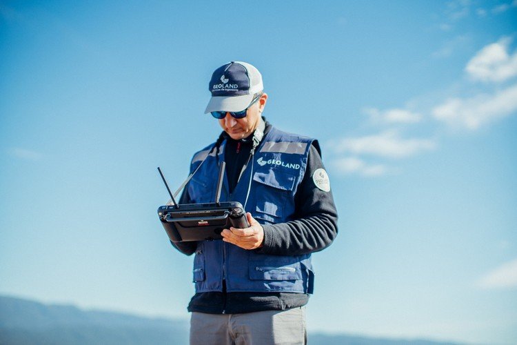
Our professional pilots hold ANAC authorisations, and we have experience in applications for mining, infrastructure, surveying, civil engineering and agroindustry.
Proven field experience
High altitude
Mining and infrastructure
Civil engineering
Productive land
Technology and infrastructure
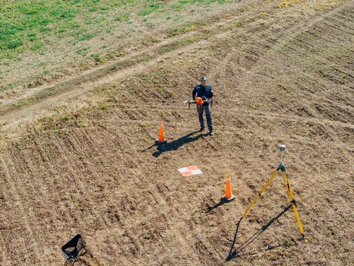
High-precision GNSS receivers, electronic total stations and levels for surveys, setting out and monitoring.
The ability to operate and integrate different RPA/UAS platforms, sensors and configurations to meet each project’s requirements.
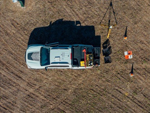
Specialised logistics for operations on challenging terrain and in hard-to-reach areas.
Geospatial processing, photogrammetry, 3D modelling, CAD and Geographic Information Systems (GIS).
Company brochure
Explore our value proposition, technical and operational capabilities, service areas and solutions for different sectors.
Contact
Tell us about your project or technical requirements. Our team will respond as soon as possible.